

Metocean insights delivered by experts.
Hermess provides top quality metocean solutions and data, delivered by experts in the field of oceanography, meteorology, applied physics and mathematics.
Physics and mathematics, applied at sea.
For more than two decades, Hermess has supported operations, engineering and the management of natural resources with high-quality environmental information. Our senior staff — oceanographers and meteorologists with backgrounds in physics and mathematics — combine cutting-edge numerical modelling with curated metocean databases to deliver data your project can be built on, wherever it operates.
Senior expertise, applied to your operation.
Through our exclusive partnership with Oceanum, we provide access to a world-class team of industry-leading experts, delivering specialized knowledge and proven experience across every stage of your project.
Our team includes leading specialists who have contributed cutting-edge research in the field of wind and wave modelling, data assimilation and extreme value analysis techniques, further strengthening our ability to provide unsurpassed solutions for complex environmental and risk assessments.

Over 15 years managing and conducting metocean projects. Previously in operational maritime weather forecasting and climate research.

Metocean advisor and project manager with more than 20 years experience in metocean design criteria studies, workability analyses, planning and support of offshore and coastal operations and special transports.

Data assimilation expert with experience in assimilating satellite and in-situ measurements in regional ocean circulation models, and in data fusion techniques for assimilating in situ measurements in model results.
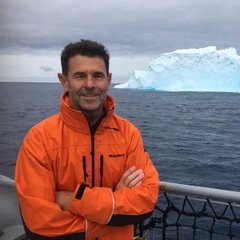
30 years experience in science leadership and ocean enterprise, building an extensive portfolio of applied science outcomes. He has designed and led numerous oceanographic measurement campaigns, metocean design projects, and modelling studies.

Oceanographer with over 20 years experience in applied research and operational forecasting. He has led the development of national wave forecasting systems for both the Australian Bureau of Meteorology and the Meteorological Service of New Zealand. Tom has extensive experience combining modern technological approaches with state-of-the-art science to produce agile and flexible modelling systems.

20+ years of expertise in nearshore wave modelling and coastal processes. At the Meteorological Service of New Zealand, he managed oceanographic hindcasting databases and contributed to the development of coastal wave forecasting systems. He has produced numerous multi-decadal wave hindcasts and continues to develop open-source tools that bridge science and technology.
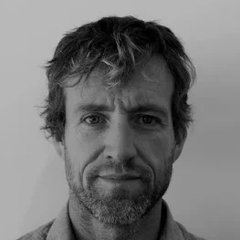
Gradually evolved from an oceanographer into a data systems architect and engineer. With Oceanumio, he is applying over 20 years experience in applied numerical modelling, data analysis and visualisation to creating better tools and systems to facilitate environmental research, workflows and operations.
Industries We Serve
We support clients across a diverse range of maritime, offshore, and environmental industries by delivering high-quality metocean intelligence, digital solutions, data analytics, and engineering consultancy. Our expertise helps organizations make informed decisions, reduce operational risks, and enhance sustainability.

Offshore
Metocean data and forecasts for marine construction, subsea installation and heavy-lift operations.
View sector →
Renewables
Resource assessment and design data for offshore wind, from site screening through to O&M.
View sector →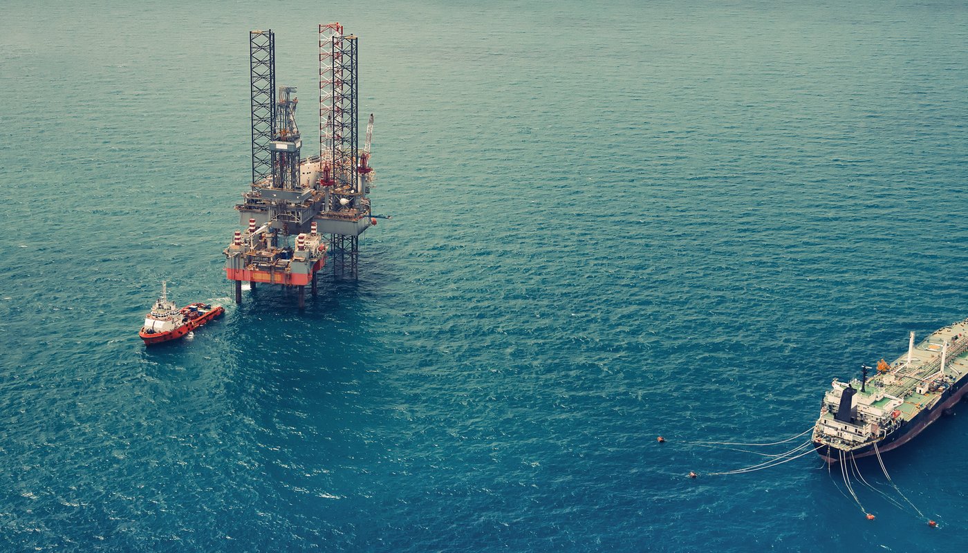
Oil & Gas
Design criteria and operational forecasts for platforms, FPSOs and pipeline routes.
View sector →
Coastal Engineering & Ports
Design conditions and operational windows for ports, breakwaters and coastal defences.
View sector →
Maritime
Voyage and route support, weather routing and operational risk for shipping and special transports.
View sector →
Agricultural
Weather and climate data to support precision farming and agricultural risk management.
View sector →Services
From concept development to operational decision support, we combine engineering expertise, environmental intelligence, and digital innovation to deliver actionable insights across the marine and offshore sectors.
Metocean data portal
Curated hindcast and forecast data for wind, wave, current, water level and weather — one dependable, quality-checked source.
Apps
Web-based tools that put metocean statistics, workability windows and forecasts directly in front of engineers and operators.
Consultancy
Independent metocean advice at every project stage, from feasibility and site screening to design and operational planning.
Expert Modelling
Numerical modelling of waves, currents, water levels and wind by senior experts, calibrated against measurements.
Route Support
Weather routing, departure planning and en-route advisory for shipping and special transports.
Forecast Services
Operational metocean forecasts, from short-range windows to multi-day outlooks, delivered how and when you need them.