Datamesh
Seamless environmental data integration
Datamesh is a platform that enables humans and machines to seamlessly interact with all types of federated environmental data. Hindcasts, forecasts, climate predictions, observations and remote sensed data are all unified onto a common data model.
With an intuitive interface, client library and a highly performant API toolkit, users can create pipelines to efficiently access datasets, perform secure analyses and integrate complex multidimensional data into scientific workflows and custom applications.
The engine
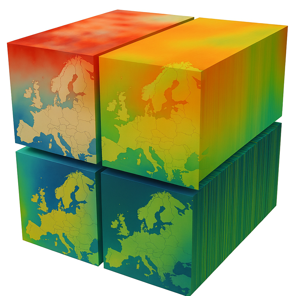
Proprietary metocean data
Wind, wave, and current data from proprietary models on global and regional grids. Regional datasets are available for the EU-shelf, Baltic, Mediterranean, Arabian Gulf, Black Sea, Red Sea, US East coast, Taiwan, Australia and New Zealand.
Validation & calibration
Our hindcast and forecast datasets are calibrated and validated against observations, ensuring high-confidence datasets that are suitable for science, operational forecasting and engineering design.
Local hindcast & forecast
Dynamical and ML downscaling to provide hyperlocal solutions – including historical reanalyses of 70 years duration and predictions to the end of the century.
Open data
NOAA, NASA, Copernicus and more - Datamesh federates to the world’s leading providers, including satellite missions, climate models and observational data repositories like EMODnet and GOOS.
Real-time data networks
Connects with a wealth of real-time monitoring networks, including wave buoys, tide gauges, met stations and ARGO.
The Interface
Authentication
Secure and controlled access is ensured via robust authentication protocols. Manage permissions and user roles to keep your workflows safe but still flexible for collaboration.
Faster workflows
Datamesh allows multiple users to access, explore, and share datasets, ensuring consistent results and efficient teamwork across projects.
Search & query
Select variables, with spatial and temporal bounds to extract the precise data you need, ensuring workflow is efficient and targeted.
.
Seamless integration
Native support for multiple programming languages ensures smooth interoperability between tools and datasets.
Download optimisation
Optimise your downloads by exporting only the exact portion of data you require. Select spatial coverage, resolution, and variables to reduce file size and speed up data handling.

Integration
API connector
Connect directly from your sources or applications, automate workflows, and integrate data into your operational tools without friction.
QGIS
Connect directly to QGIS, a Geographic Information System (GIS) software application for viewing, editing, analyzing, and visualizing spatial data.
Python toolbox
Query, analyse, and visualise datasets with familiar libraries, enabling fast prototyping, ML workflows, and advanced analytics with minimal setup.
.
Cloud-native efficiency
All datasets are securely stored, ordered, and maintained in the cloud — ensuring reliability, scalability, and speed. Forget the hassle of downloading and managing files: Oceanum gives you instant access, always up-to-date.
Jupyter Notebook
Integration in your fast interactive environment for prototyping and explaining code, exploring and visualising data, and sharing ideas with others.