Numerical modelling and hindcast data
Coastal and offshore studies rely on quality atmospheric and oceanographic data to ensure that the ambient and extremes of the climate are appropriately taken into account. Numerical hindcasting techniques provide an efficient and cost effective method to generate these data. It is a rapidly deployable, powerful tool for providing information on metocean parameters, going back to 1979, providing key inputs to optimize the safety, efficiency and durability of commercial marine operations and structures.
We run the latest models and use the most advanced techniques. With local measurements for calibration and validation, the atmospheric and oceanic (including coastal) processes and extreme historical events are replicated with high accuracy.
Models are set up in a stepped approach where we run the model for a limited time frame using different settings, boundary conditions and wind forcing. Model output is compared with local measurements and a choice is made for the optimal model settings. Based on this the 45 year hindcast is generated.
Metocean hindcast data
You receive accurate, localised long term record of marine conditions at any open ocean or coastal location around the world. Metocean data is made available as gridded data (for spatial analysis), statistics or time-series. Our hindcast archives include the following metocean parameters:
Wind data - wind speed and direction
Wave data - wave height, period and direction for total, swell and wind sea
Currents - tidal, residual and combined
Water level - tidal height/elevation, surge
2D wave spectra
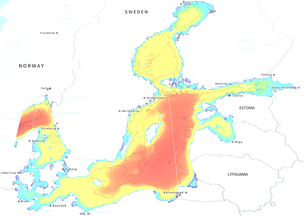
Hindcast data is available from our global model as well as from high resolution regional models. Regional model data is available for the North Sea, Irish Sea, Baltic, Mediterranean, Arabian Gulf, US East coast, West coast Taiwan, Bass Strait & New Zealand.